Thursday, August 22, 2019

Update - August 22, 2019

The posting I did on August 2 (you can read that by clicking here), I discussed the upper level ridge that was centered across west Texas that had been in control of the weather for a while.  I anticipated that upper level high to weaken to shift south allowing beneficial rains to spread farther south.  That did happen during this past 2 weeks.

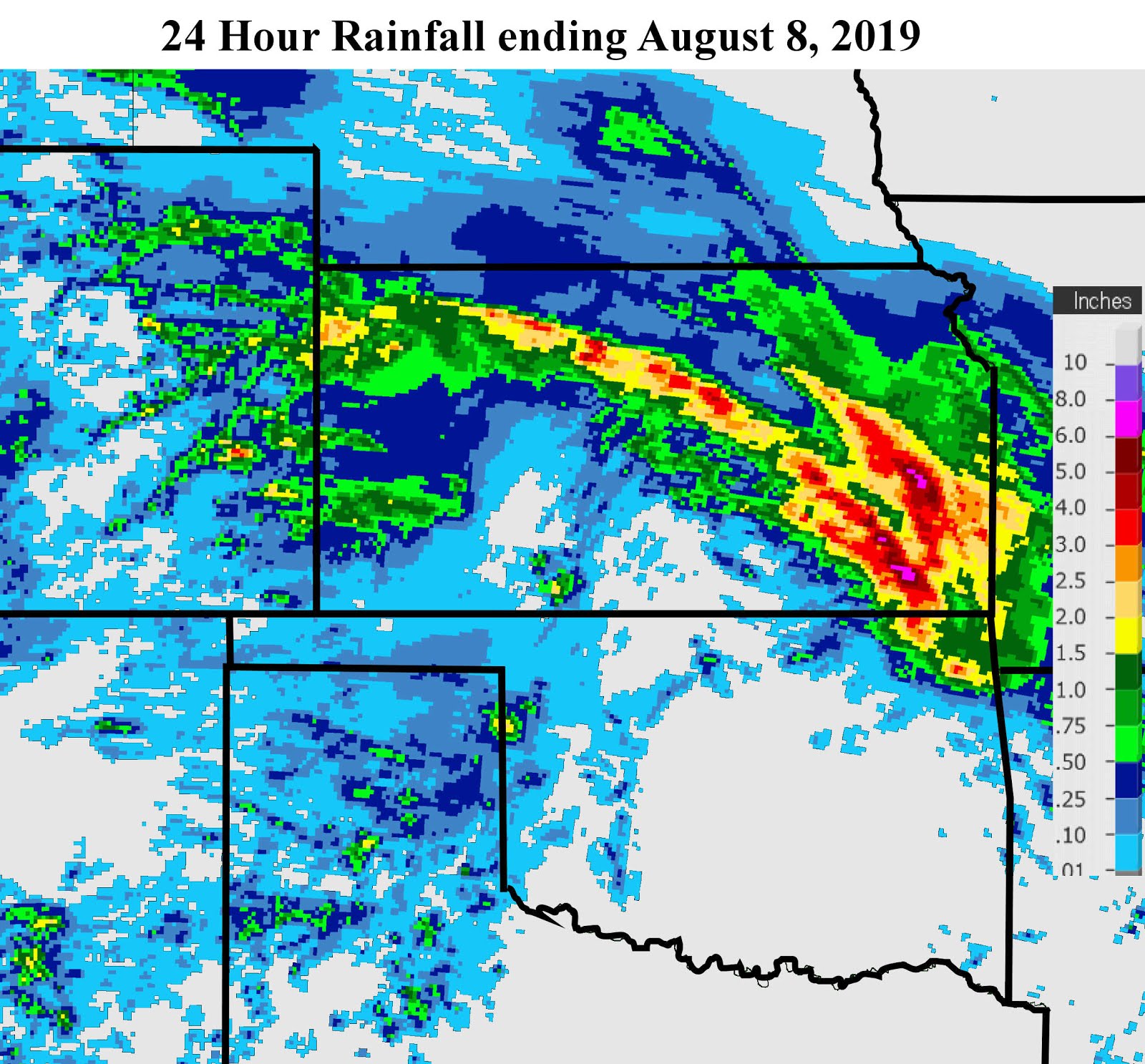
Here is a map of rainfall since that time...


You might notice that area on the map centered very near Dodge City that did not receive that much over this 2 week period.  This is basically the same area that has missed out during the past 30 days too! Hopefully this is just a random trend and isn't tied to atmospheric background forcing.  Although I won't post the map of the past 30 day rainfall, there is an area in Anderson county of east central Kansas that has received ~22 inches of rainfall!   Contrast that to areas west and southwest of dodge City that have had less than 1/2 inch during that time.

This lack of rain in this location of Kansas is translating to the drought monitor.


As I discussed in the previous posting earlier in the month, I don't know that this developing drought area will expand much - at least not quite yet.  But, I do have reasons to believe that by this time next year there could very well be a lot of yellow, brown and orange across the central U.S. - more on that late this fall after the new pattern gets going.  Maybe I'll change my mind at that point.

Looking at the satellite image from earlier this morning....


The upper level ridge has been suppressed well to the southeast and has continued to weaken.  There was a narrow stream of tropical moisture that was coming off a tropical disturbance across the Gulf of California.  That in part has helped and will continue to help feed local thunderstorms in producing copious rainfall.  But, at the same time, the lack of stronger winds aloft will make these areas of heavier precipitation relatively isolated (except for southeastern Kansas).

The winds aloft will strengthen just enough to allow a complex of thunderstorms to move out of the western high plains late Friday and Friday night (23rd).  I'm optimistic that the area that has missed the rainfall (in general) this past 30 days will finally get a pretty good amount.  I guess I should say "cautiously optimistic".  Fingers crossed.

For this next week, here is the outlook from the Weather Prediction Center (through next Thursday, the 29th)....


I'll try and update again next week.

Thursday, August 8, 2019

Update - August 8, 2019

Since the last posting on the 11th of July (you can read that one by clicking here), the weather pattern has continued to transition to a summer regime across the central plains - at least for short bursts. 

During the mid-July period, but for only 4 days, afternoon temperatures got a little out of control across much of the area with readings from 102 to 108 across the high plains.  (BTW, in May when I was discussing the summer outlook, I was not expecting that hot of temperatures since I thought it would be too green and wet across the central U.S.).  Farther east the humidity was brutal, thanks in part to the flooding rains during the spring and early summer.  Then as expected, it cooled down for a week to 10 days.  The heat returned again during the last few days of the month.  I've seen a lot of posts (on social media) about how hot it was during July.   That is an  interesting statement, since  temperatures an average for July were below normal to normal for most locations and just a little above normal for the remainder of the area!  I guess it was the short bursts of very not weather (or maybe it was the humidity) that swayed the opinion. 

Here is a map of the July temperature departure for Kansas...


As is pretty typical, rainfall during the month varied tremendously across the high plains.  Some locations got virtually nothing while others got extreme amounts of rainfall!  When precipitation during the warm season comes via thunderstorms, this type of variability should be expected (not necessarily the extreme amounts that fell in Nebraska and parts of eastern Kansas).

Here is the July rainfall....


As for percent of normal....


You might notice that this area of extreme rainfall had received very heavy precipitation amounts several times since the spring.  These type of repeating events are tied to the pattern that set up last fall.

For the past 14 days (since July 24th), a very similar distribution has occurred (except for south central Nebraska)....


One weather phenomenon that developed over the summer has been the North American Monsoon.  The associated upper level ridge has been parked over west Texas, in general.  The "ring of fire" has been persistent.  However, a temporary weakening of this ridge and slight shift south has resulted in rainfall farther south.  Here is the map of rainfall this past 24 hours ending at 7 AM this Thursday morning (Aug 8)....


Unfortunately, this repeating pattern of rainfall that occurred also has a counterpart - the dry area!  As a result, the U.S. Drought monitor is beginning to be a little concerning...


Will this dry area intensify and expand during the next month or two? I have doubts that it will get too bad, at least just yet.  As mentioned, the upper level ridge was weakening slightly and shifting a little south.  This morning the satellite image showed the positioning of the high....


As a result of the slight weakening and shifting south, beneficial rains from storms should be farther south into next week.  That doesn't mean everyone will get rains with every opportunity, but at least there is hope for those that have been dry lately to receive some precipitation.  The following map shows the potential rainfall amounts through early next Thursday (from the Weather Prediction Center)....


One final thought....

I've already seen posts from different groups about what to expect this winter.  Seems a lot of these people try to be the "first".  But, for those long time readers of this post, you know that the pattern does not get established until the fall so there is really no way to know what will happen this soon.  The pattern that gets going will have no correlation to what is going on now.  If I could figure out what contribution forcing areas have on the new pattern, I might have some confidence on what to expect.  I could go off a hunch, but that would be just a WAG.  I could go off  all kinds of indicators that would only give a huge range of possibilities.

I might post something on a hunch later this month.  Check back later next week for hopefully the next posting.


Tuesday, August 6, 2019

Aug 6, 2019

I'm going to try and get an update posted no later than Thursday afternoon of this week.

Here is the link to the previous posting if you missed it (click here)