Why did I put "Shades of '93 - sort of" in the title? Not really because of the overall weather pattern (it's different than 1993), but because the area with the abnormally high river levels keep getting MCS (Mesoscale Convective Systems) almost daily/nightly just like in 1993. Plus, it's really not likely to change much, overall, for the next few weeks.
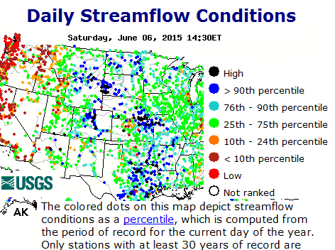
Look at the percent of normal of rainfall over the past 30 days. This is VERY impressive! Many locations have had 2 to 5 times the normal amount of rainfall. So, add what is expected and what has occurred, and the river flooding (that had been across Texas and Oklahoma) will soon be or is imminent across these other areas.

What is expected during the next 7 days (from the Weather Prediction Center)


Notice there are still areas that show a moderate drought. Keep in mind this drought took a while to develop, and it always takes a while to end as this takes into account long time periods.
The Hurricane
In the previous post I discussed a hurricane and tropical storm. The tropical storm, Blanca, has since become an intense hurricane south of Baja California. This occurrence, for this time of year, is extremely unusual as they normally don't get cranked up there until later in the summer (and being so intense this early). There is still a fair chance that the remnants of this hurricane will impact parts of the plains (most likely late next week). Already some of this moisture aloft has helped to produce abnormal rains across Arizona. Flagstaff received more rain in 45 minutes than they normally get the entire month of June!
First, there is a vigorous upper trough across the west. (see the satellite below). It has already contributed to the severe weather and heavy rains mentioned above. A separate system (not noted on the satellite image) will drop into the midwest and it's associated front will drop into Oklahoma. As a result, thunderstorms are expected to occur farther south on Sunday and Monday. Once that goes by things should dry out for a few days. But, then attention will turn to Hurricane Blanca.

Sidenote... I personally would like to see water finally flowing down the Arkansas to at least Dodge City this summer (hasn't happened since 2003). What that will take is a "full" John Martin Reservoir (JMC) (eastern Colorado) and less demand on irrigation. JMC has had steady inflow since May 1 with just normal releases and has gone from 13% full to 59% full. Yes, even though the lake has risen 27 feet, it has a LONG way to go to get full. But, with the continued runoff from rains and the influx of snowmelt, I think it will rise to full elevation/volume. With the expected usage of irrigation releases to be less than normal and with the increased releases from a full reservoir, I think the water in the Ark will get past Garden city (99 percent chance) to hopefully as far as Dodge.
Looking ahead...the pattern should be a little more favorable for additional rains across even the central part of the high plains (not just Nebraska and northern Kansas) by the middle to late part of June. This should be good news for those that run their pivots 24/7. I still don't see the exceedingly hot weather than many still have been talking about. The number of 100+ days this year across the central high plains should be limited.
No comments:
Post a Comment