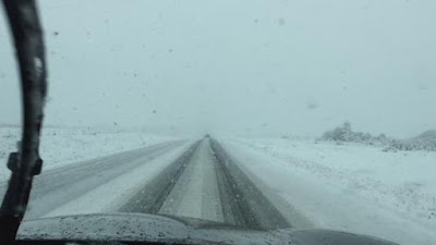
Does this event foretell what is to come this fall and winter? In short, NO! This is still related to the pattern than has been in existence since last fall. The pattern will finally fall apart and a new one will emerge during the next 4 to 6 weeks. Take any outlook you are seeing right now with a grain of salt. All of them are mostly made using a composite of El Nino winters, which vary from one to another. A composite of what has happened in the past is NOT a great indicator of what is upcoming although odds tilt in that direction.
This satellite image from this Monday afternoon depicted the upper portion of the cold airmass, just north of the Great Lakes.
This pattern has also surpressed the North American Monsoon moisture well south and has scoured out the deep tropical moisture at the surface that had been in place across much of the plains. The cold has also added to a growing deficit of growing degree days across the corn belt. I'm still not sure if this is a big deal or not. The latest map showing the departure from normal follows: (click for a larger map)
The cold front associated with the cold airmass did bring quite a bit of rain to parts of Nebraska and Kansas, although the high plains basically missed out. Regardless, the long term drought is non-existent across the high plains, according the latest U.S. drought monitor.
During the next week to 10 days the forecast is very tricky. The primary reason is that the tropics (both Pacific and Atlantic) are becoming very, very active. Latent heat release process from the tropics into the mid and upper latitude areas will have an impact. The problem is there are a lot of unknowns about that extent of these impacts. Hopefully I'll have an idea by the end of the week.
Here is the latest North America satellite image showing the various tropical systems. Eight storms or disturbances is a lot!
The Weather Prediciton Center offers the following outlook for precipitation during the next 7 days.


No comments:
Post a Comment